Geography
The land of five rivers
Explore the land
Five ways into the land
To understand Punjabi culture, we begin with the land. Punjab means five waters, and the rivers, the tracts between them, the cities on their banks and the fields they watered shaped how our people settled, spoke and lived. We are telling that story in five parts. The first is ready to read, and the other four are on their way.
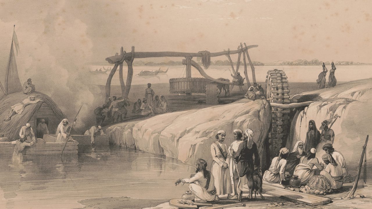
The Five Rivers
Jhelum, Chenab, Ravi, Beas and Sutlej: the waters that named the land, and the many names each has carried across three thousand years.
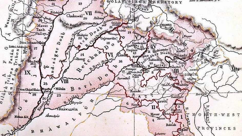
Regions & Doabs
The tongues of land between two rivers, and the regions on both sides of today’s border, Majha, Malwa and Doaba among them, that still tell us where a Punjabi comes from.
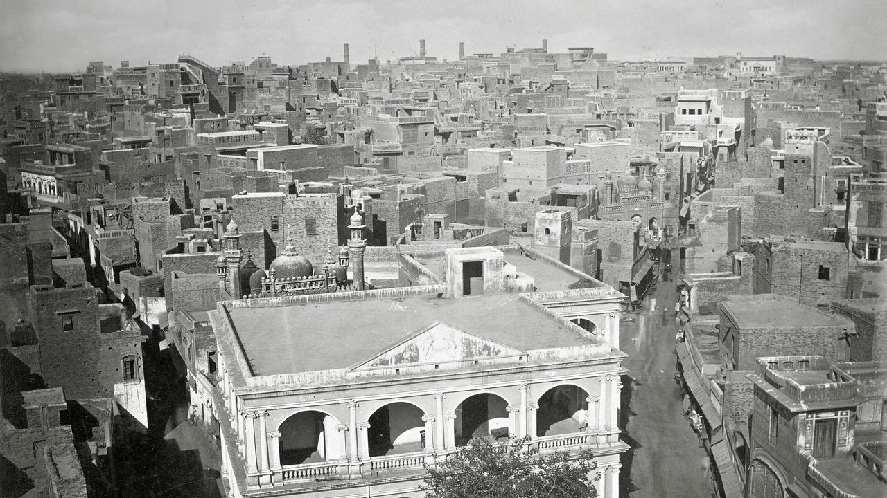
Cities
Harappa on the Ravi’s old bed, Lahore on its banks, Amritsar a day’s ride east: the cities that grew where the waters ran.
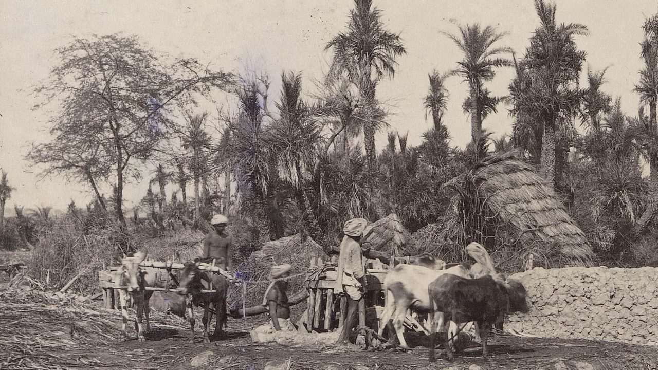
Climate & Agriculture
The open, fertile plain, its seasons and its harvests, and how the farming year came to set the rhythm of our festivals and songs.
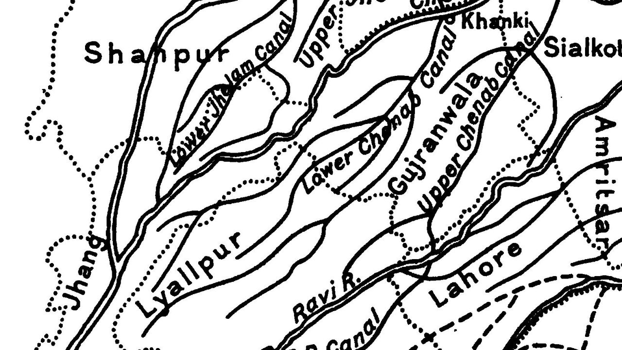
The Bar & Canal Colonies
The dry grazing country between the rivers, and the canals that turned it into farmland and remade who lived there.
The Five Rivers: the Sutlej near Pakpattan, a lithograph after James Atkinson, 1842. Library of Congress, via Wikimedia Commons.

Regions & Doabs: The Panjâb, a map published by W. H. Allen & Co., London, about 1880, via Wikimedia Commons.

Cities: Lahore over the rooftops, photographed by John Edward Saché about 1870, via Wikimedia Commons.

Climate & Agriculture: a belna, a sugar-cane mill turned by bullocks, at Shergarh, about 1870–90. Rijksmuseum, via Wikimedia Commons.

The Bar & Canal Colonies: the canals of the western Punjab, from Sir James Douie, The Panjab, North-West Frontier Province and Kashmir, 1916, via the Internet Archive.
All five pictures are in the public domain.